
Elkins Property Records: Start With the County Parcel
Start with West Virginia Property Assessment. That lookup yields the district, map, parcel and suffix for an Elkins address. Carry the parcel ID to the County Clerk's deed index, the Sheriff's tax links and the statewide GIS viewer. For municipal building work or land-use questions, add Elkins Building, Zoning & Code Enforcement. The city keeps no ownership roll or deed book of its own. Its permit and zoning files simply build on the county parcel trail.
- Search Randolph County assessment by Elkins street name, owner or parcel.
- Use the parcel ID and legal description to find the deed or plat at the County Clerk.
- Check the Sheriff for payment or delinquency and the state Viewer for map context.
- Use the city permit application and zoning department for building or land-use records.
- Confirm the municipal boundary when the property appears close to the city edge.
The county side of the lookup is covered in the Randolph County property-search walkthrough. The city records gathered here cover what to add once the parcel is known.
Who Holds Elkins Property Records
Randolph County systems hold the assessment, deed, tax and parcel-ownership records for Elkins property. The city keeps its own layer. That includes permits, zoning, code compliance and municipal maps. A building permit proves a project went through city review. It does not prove who owns the land. Pair any permit with the county parcel card before drawing conclusions about title.
Randolph County Parcel Records
The County Clerk, Assessor and Sheriff hold deeds, assessment and tax records for Elkins properties.
Elkins Permits and Zoning
401 Davis Avenue, Elkins, WV 26241
304-636-1414 ext. 1432
Elkins Zoning Maps and Filed Plats
Elkins's zoning code places the official zoning map on file with the city clerk. The same code points to plats filed with either the city clerk or the Randolph County Clerk. For lot history, take the county Parcel ID to the filed plat. Then compare its subdivision, lot and legal description against the municipal zoning map. One wrinkle matters. A postal Elkins address outside town may sit beyond city zoning rules entirely. The city zoning department page covers zoning determinations and permitted land uses. It also covers signs, buffers and short-term rentals. An ordinance updated the code on August 18, 2022. The official Elkins zoning and code-enforcement page links to all of it.
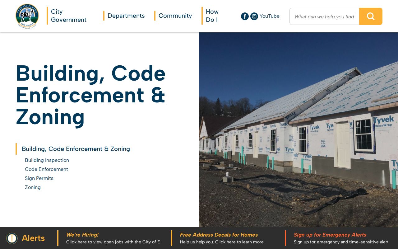
Zoning fixes what a lot may be used for. It does not transfer ownership. For the ownership record, rely on the county deed and parcel card.
Doerr Addition in Elkins Property Records
One subdivision name appears on a live Randolph assessment card: Doerr Add. Its sample legal description reads "LOT 9 PT 10-B-4 DOERR ADD". It sits in Leadsville District, map 0004, parcel 0062, suffix 0000. That example shows how Elkins property records index a lot. The key is the named addition and the parcel segments. It is not the street alone. The county record does not date the subdivision's build era. Other plat names surface only through the recorded plat books themselves.
| Neighborhood / Subdivision | Era | In the Records |
|---|---|---|
| Doerr Add | Build era not verified | Sample card: Leadsville, map 0004, lot 9 / part 10-B-4 |
| Other named Elkins plats | Not confirmed | Search County Clerk description, subdivision, lot and book/page fields |
Pair the addition name with the parcel number and the book and page. Then compare the recorded plat against the tax map. The Randolph County parcel-map information explains why a GIS outline works only as a locator.
Fields on an Elkins Permit Application
Elkins publishes a four-page Building Permit Application as a downloadable form. There is no searchable permit database behind it. The form ties a work request to an owner, job-site address, parcel details, contractor and work description. Its attached zoning application asks for map and parcel identifiers plus a site plan showing the lot and proposed work.
| Form field group | What Elkins asks for | Record use |
|---|---|---|
| Owner and job site | Name, address, phone and work location | Join the request to the parcel |
| Work size and type | Dwelling, garage, remodel, porch/deck area and permit type | Describe a physical change |
| Contractors | Name, contact and WV/city license numbers | Identify listed trades |
| District/map/parcel | Tax-map reference and lot size | Match city paperwork to county card |
| Site plan | Lot edges, buildings, sidewalks, driveways, height and setbacks | Show proposed work location |
Fees depend on the work, the city page says. No fee schedule or historical coverage is stated. The form itself warns that zoning approval is not a building or electrical permit. Work must wait until approval and payment clear. The zoning attachment digs deeper. It asks for proposed use, occupancy and rental-inspection details. It can reference asbestos, fire-sprinkler, State Fire Marshal, elevation-certificate, water, sanitary, grease-tap, health-department and backflow approvals. Separate electrical, plumbing and HVAC blocks identify trade contractors and license numbers. The site plan calls for lot dimensions, existing buildings, sidewalks and drives. It also wants the proposed structure's height and its distance from each property line. These fields tie an application to a parcel and project. They do not prove a permit was issued or work completed. The building application also records an application date, proposed use, work description, value of work and signature. It also records a permit number. Those items help the department locate a prior project. This matters when an owner traces a building's history. The city publishes no online search by permit number or address. It offers no index of past permits.
Elkins Building and Code Records
Elkins Building, Zoning & Code Enforcement issues building permits. It monitors property-maintenance compliance. It also makes zoning determinations and handles sign and other zoning permits. It oversees sidewalk-dining compliance and similar municipal matters. Covered work includes construction, repair, alteration or enlargement of a building. It also covers electrical, gas or plumbing systems becoming part of the structure. Contact Jessie Kittle at 401 Davis Avenue, Elkins, WV 26241, or 304-636-1414 ext. 1432. The city page is the front door for permit questions. It covers the form, permit type and zoning district. No searchable permit-result fields or online historical permit index appear there.
South Elkins Annexation and Address Context
A Census table lists 1901 as the year South Elkins was annexed. That is a boundary-history lead, not a settled fact. Before relying on it for a current property, ask the city clerk. Request the ordinance or the map behind the annexation. A complete incorporation and annexation chronology is not published in one place. No single source lists every edge pocket.
For a parcel today, lay the county's community and parcel layers beside the municipal zoning map. An Elkins mailing address proves nothing about boundaries. The lot may sit outside a historical or even current city line. That distinction shapes old plats, permit jurisdiction, and which office holds the local code records.
Elkins City GIS and the Dilapidated Structures Lead
Elkins Operations maintains a city GIS function. A 2021 city announcement described a public Dilapidated Structures Dashboard showing an address, a map location, and a condition rating. Its live URL, query fields, coverage years, and export behavior are not published in current form. Treat the dashboard as a historical lead rather than a working property search tool.
A condition dashboard is not a title record. If a building's past condition matters to you, ask the department whether the dashboard is still available and request the underlying code or inspection record. Then match the address to the County Assessor parcel. That step keeps you from pulling the file of a neighboring lot.
Elkins Property Values in the County Assessment Roll
The county assessment card shows annual parcel history, but Elkins has no published citywide revaluation or district-level breakdown. One sample cannot stand in for the city. The Doerr Addition parcel, for instance, lists a 2026 total appraisal of $20,500 plus older annual rows. Use the card's tax year, land and building split, and legal description when comparing an Elkins value.
Population measures scale, not price. Elkins counted 6,934 residents in the 2020 Census. A 2025 estimate put the figure at 6,622. Keep those numbers apart from appraisal questions. A recorded deed reflects a past sale, while the tax roll carries the Assessor's value for a single tax year.
What Elkins Property Records Can and Cannot Prove
City records add permit, zoning, and code history to the county's property records. A permit entry proves no title. A zoning map settles no surveyed boundary. Elkins and Randolph County sources answer different questions, so join them by Parcel ID, legal description, or a confirmed address before drawing conclusions about the owner of record or the parcel itself.
Lawful use. Elkins property records support historic research, property diligence and civic review. Use owner information lawfully and never to stalk, harass, intimidate or harm anyone.