
Reading Randolph County Parcel Maps in the WV Viewer
The WV Property Viewer layers parcel geometry over tax-district boundaries and address labels. It also adds flood display and reference maps. A search can return a GIS ID, owner name, and address. Clicking a parcel opens its detail panel. There you'll find the physical address and legal description. The panel also lists building information, cost and appraised values, and a link to the separate assessment report. Layer controls help you orient a parcel, but they never certify its boundary.
| Layer | What It Shows | Use |
|---|---|---|
| Parcels and tax districts | Parcel geometry and local tax-district edges | Locate the tax unit |
| Address labels | E-911 or physical address points and labels | Match a situs to a parcel |
| Flood display | Displayed flood-hazard layer and legend | Screen a location, then verify with the official flood source |
| Basemap / reference | Street, topographic, satellite and context layers | Orient a rural or town parcel |
| Identify / parcel detail | Owner, address, description and appraisal fields | Cross-check the tax card |
| Geometry tools | Point, rectangle, polygon and buffer searches | Find nearby parcel results |
Copy the formatted ID from the detail panel. Copy the legal description too. From there, the WV Assessment card gives tax-year values. It also gives a deed book and page reference. The County Clerk's index holds the recorded deed or plat. Randolph's Sheriff also posts tax maps and map cards. When a map view needs documentary backing, those records are the next step.
Randolph County GIS Tools for a Parcel Search
The Viewer offers three ways to search. E-911 search starts from a street address. Parcel Attributes accepts a full or partial parcel ID, parcel number, owner, or property address. Geometry search lets you draw a point, rectangle, or polygon. You can also set a buffer around it. A buffered shape works well for a block or nearby-land question. It returns parcels within proximity, though, not a legal ruling on adjacency.
Search results cap at 1,000 records. Each row shows GIS ID, owner name, and address. Hovering highlights the feature. Clicking zooms in with basic information. If a row has no geometry, the Viewer warns you when you select it. Parcel boundaries appear for map clicking at 1:18,056 or closer. Those controls make the map a strong first pass. Narrow large queries by county parcel attributes instead of pulling everything at once.
Current help material sits at WV Property Viewer tools and instructions. It includes a screenshot of the geometry search. The image also shows layers, buffer, print, and export controls.
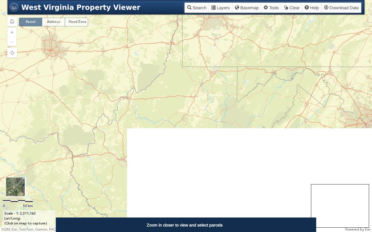
Draw a point or polygon only after you know the area you need. A buffer screens for nearby tax units; it never replaces checking their recorded descriptions.
Read the Randolph County District-Map-Parcel-Suffix
West Virginia's formatted parcel ID strings together district, map, parcel, and suffix segments. Leading zeroes pad each fixed-width part. The statewide help also names six conceptual elements. These are county, district, map, parcel prefix, parcel suffix, and special ID. A Randolph sample detail shows a root PID plus a formatted value like 42-10-0004-0062-0000. Those exact segments carry across Assessment, the Viewer, and the Clerk's legal-description search.
Copy the full string, zeroes included. A tax-map page may list only a district and map identifier. The assessment card and the Viewer show the whole parcel number. If the parcel or suffix differs, a map-number match alone won't identify the lot.
Find a Randolph County Parcel by Address
Rural address labels can run thin. The E-911 tool is built around address points. If an address won't resolve, try a street-name or owner search in the assessment system. Then return to the Viewer with the parcel ID. The detail panel links back to the non-spatial assessment report, so carrying a map selection into the tax roll stays easy.
A sample Randolph card makes the contrast plain. Its physical location is Virginia Avenue. Its mailing address is Randolph Avenue. The E-911 field sits blank. Use the physical address to orient the map, but keep Map 0004 and the full formatted parcel number whenever you move from the Viewer to Assessment or a filed plat.
- Open the WV Property Viewer and choose E-911 address or Parcel Attributes.
- Search by the known street, owner, parcel ID or parcel number segments.
- Click the likely parcel and compare its owner, physical address and description with the assessment card.
- Use identify, layers or geometry buffer to review nearby parcels and location context.
- Save the formatted ID, then look up the related deed or plat in County Clerk records.
A parcel is a tax-mapped unit. A plat is a filed map of lots, and a lot-and-block description depends on a subdivision map. Metes and bounds traces lines through bearings and distances. An easement is a recorded use right that can cross a parcel without changing its outline.
Randolph County Tax Maps and Recorded Plats
The Sheriff's tax-map page gathers Randolph County tax maps and map cards in one place. The sample assessment detail there ties back to Map 0004. A map PDF helps you get oriented. For recorded plats, the County Clerk's land-record index offers several search modes. You can search by Description, subdivision, lot, block, or book/page. Elkins zoning code adds another wrinkle: a plat may sit with the city clerk or with the Randolph County Clerk. So either office can hold the map you need.
Start in the parcel viewer to find the district and map number. Then run the lot, block, or subdivision wording through the Clerk's index. A map image never replaces the deed or survey. Note: the tax-map page states maps are Assessor property. Reproduction, copying, modification, distribution, or sale may require written permission.
The link below opens Randolph County tax-map and public-record links.
Treat map numbers and recorded descriptions as cross-checks for each other. When lot orientation or a tract's division history matters, ask the Clerk for the filed plat itself.
Deeded Acres and GIS Acres in Randolph County
An assessment card in Randolph County can list two acreage figures side by side. The sample record shows 0.198 deeded acres against a calculated GIS figure of 0.20. The WV Viewer is blunt about the second number. Calculated area comes from map geometry, is only an estimate, and carries no legal standing as acreage. Deeded acreage controls the assessment. The gap matters most on narrow rural tracts or irregular lots. There, a fraction of an acre shifts the picture.
Trust the deed or a current survey for exact land area. That matters whenever a boundary, sale, or building plan turns on it. Spot a mismatch on the tax card? Ask the Assessor. The map frames the question, but the land instrument and a surveyor settle it.
Locate a Randolph County Parcel and Read Its Record Key
Start with an E-911 address if you have one. Compare the selected map feature against the Assessment card before going further. The address may be incomplete. The map may also return no geometry. Fall back on owner, street name, or parcel attributes to narrow the search. The parcel ID is the bridge. It carries you from the map into the wider property records. The legal description then confirms you landed on the intended tract.
- Search E-911 address or Parcel Attributes in the WV Property Viewer.
- Open the parcel detail and save its formatted district-map-parcel-suffix ID.
- Compare physical address, owner display and legal description with WV Assessment.
- Use flood or reference layers for context, then check the Clerk's deed or filed plat for legal detail.
- Parcel number
- The assessment and map key built from district, map, parcel and suffix.
- Plat
- A filed map that lays out lots and related land information.
- Lot and block
- A description that depends on a recorded subdivision map.
- Metes and bounds
- A land description using measured lines and directions.
What Randolph County Parcel Maps Cannot Prove
A GIS parcel outline is a best-fit drawing built from deeds and surveys. It is not courtroom proof of who owns a tract in Randolph County. Calculated acres are estimates. The sample record shows they can drift from the deeded area. Flood shading and basemap layers demand confirmation from the official source. No decision should lean on them before that check.
Scale limits what you can click. The Viewer shows parcel edges for selection at roughly 1:18,056 or closer. Some points stack multiple parcels into one popup. A parcel without geometry may return only a warning instead of an outline. A spatial query can also return up to 1,000 rows. Tighten the search shape when results run broad. Save the Parcel IDs and the date of the map view. Then confirm each important tract against the detailed assessment card and the recorded deed.
Not a survey. Randolph County parcel maps help locate tax units but do not settle a boundary. For a purchase, fence, easement or building plan, review the deed and obtain a licensed survey where exact lines matter.